Politics
Amsterdam Updates Zoning Rules, Reshaping Neighborhood Development for Years Ahead
Residents across Amsterdam neighborhoods will encounter the effects of updated zoning and development rules through shifts in building approvals and land use decisions that unfold over multiple years.
How we reported this
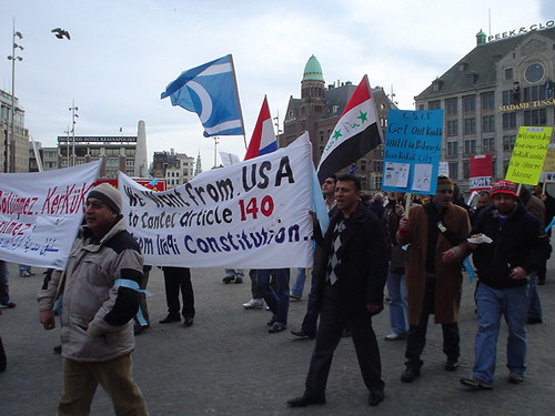
Amsterdam continues to refine its zoning and development rules that control building heights, land use categories and permit processes in districts throughout the city. These rules determine where residential, commercial and mixed-use projects receive approval. Local government decisions on these matters directly shape the supply of housing units and the locations of new services available to current residents.
Population growth and existing infrastructure demands have prompted renewed attention to these rules at the municipal level. Amsterdam residents already navigate tight housing markets and varying access to public transport links. Adjustments to zoning categories can alter how quickly new homes or shops appear in specific areas such as the western suburbs or central ring districts.
Daily Consequences for Households and Services
Changes to development rules affect the timeline for new housing completions that influence rental prices and ownership opportunities in affected neighborhoods. Families may experience longer periods before additional school places or local shops become available when zoning limits delay construction starts. Commuters could see modifications to bus routes or cycle paths if new residential clusters receive approval under revised density standards.
Business owners in commercial zones watch permit processing times that govern expansions or new locations. These timelines determine when additional jobs appear near residential areas. The rules also guide where green spaces or community facilities can be incorporated into larger projects, which in turn affects daily access to recreation for nearby households.
Projected Rollout and Resident Awareness
The government says the policy will proceed through staged reviews of existing plans and new applications. Residents are expected to notice initial differences in the speed of visible construction activity within the next planning cycle. Further effects on service capacity, such as updated water or electricity connections tied to approved developments, are projected to appear later as projects advance through construction phases.
Community input sessions on proposed zoning maps provide one channel for households to track potential changes before permits are issued. Over time these adjustments influence the balance between preserved historic structures and newer builds that residents encounter on regular routes through the city.