news
Amsterdam Replaces Thousands of Duplicate Street Signs After Decades of Bureaucratic Delays
Decades of layered bureaucracy, competing city departments, and a post-pandemic maintenance backlog explain why Amsterdam's public signage is finally getting a systematic overhaul.
How we reported this
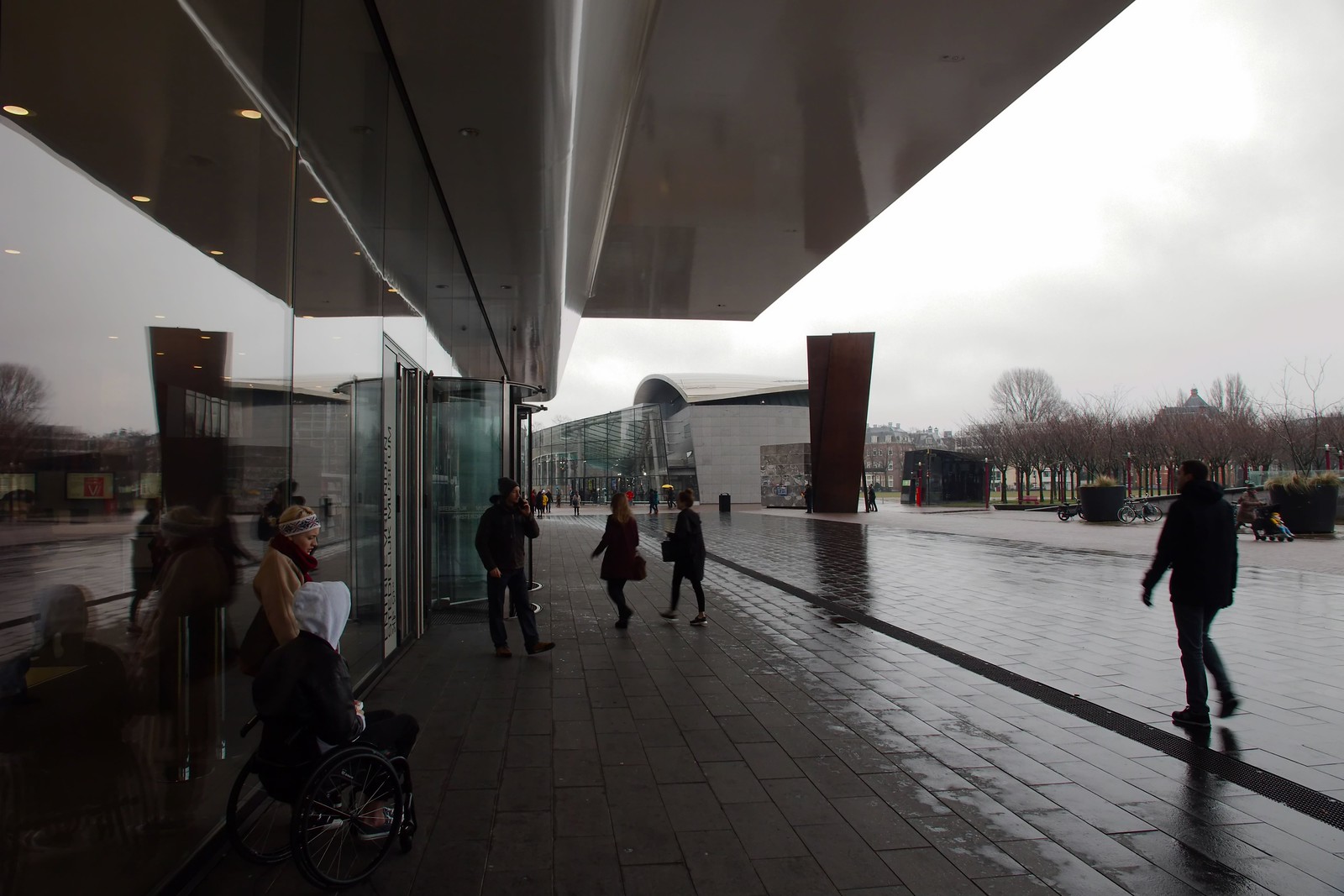
Walk down the Haarlemmerdijk on any given morning and you will find them: faded cycling directional signs bolted directly beneath newer ones pointing to the same destination, sometimes differing by a hundred metres in the distance stated. Multiply that across 900 kilometres of city streets and you begin to understand why Amsterdam's municipal infrastructure department formally launched a duplicate-image and redundant-signage replacement programme in the first quarter of 2025.
The issue matters now because the city is simultaneously managing several overlapping pressures. The cruise ship ban that took effect at Passenger Terminal Amsterdam on the IJ waterfront in 2024 rerouted significant foot traffic inland, placing new navigational demands on street-level signage in the Centrum and Westelijke Eilanden districts. At the same time, the D66-led coalition committed in its 2022 coalition agreement to a measurable improvement in public-space quality by 2026. Redundant, contradictory, or duplicated information boards undercut both goals.
How the Backlog Built Up
The duplication problem did not arrive overnight. Amsterdam's signage infrastructure is the product of at least four separate administrative eras, each of which added its own layer without reliably removing the old one. The city's stadsdelen, the semi-autonomous district councils, operated largely independently until a 2014 reorganisation centralised many functions under the municipality. That merger meant that Stadsdeel West and Stadsdeel Centrum had each commissioned their own wayfinding families, often from different suppliers, and neither had a strong mandate to audit the other's legacy hardware.
The cycling network expansion of the early 2010s, which added dedicated infrastructure along routes including the Overtoom and Wibautstraat corridors, generated a fresh wave of pole-mounted signage. When those routes were later modified, sometimes subtly, sometimes substantially, updated plates were attached to existing poles rather than replacing them. By 2019, an internal audit by the Gemeente Amsterdam's Verkeer en Openbare Ruimte directorate counted several thousand sign faces across the city that either duplicated information within 50 metres or carried data that no longer matched the underlying street layout. That audit figure appeared in a publicly available policy annex published alongside the 2020 Meerjarenplan Openbare Ruimte, the city's multi-year public space plan.
Then the pandemic hit. Between March 2020 and late 2021, routine maintenance schedules collapsed. Contractors were stood down, inspections were deferred, and the backlog that had been manageable became acute. Temporary Covid wayfinding, arrows directing visitors around the Rijksmuseum and through the Jordaan to ease congestion, was installed quickly and removed unevenly, leaving orphan hardware on several streets around the Leidseplein area.
What the Replacement Programme Actually Involves
The current programme, running under the municipality's Slim en Schoon Openbare Ruimte framework, works district by district. Stadsdeel Noord and Stadsdeel Oost were prioritised in the first phase, partly because both contain large stretches of recently upgraded cycling infrastructure where signage conflicts were most operationally disruptive. The second phase, covering Centrum and Nieuw-West, was scheduled to begin in the second half of 2025 and is understood to be ongoing.
The methodology involves field surveys cross-referenced against the city's IMBOR asset register, the national standard database for public space objects, to flag every instance where two or more sign faces within a defined radius carry overlapping directional or informational content. Redundant hardware is physically removed rather than simply covered, partly for aesthetic reasons and partly because covered signs have historically been uncovered again by maintenance crews who did not know the covering was intentional.
For residents and the roughly 19 million visitors the city recorded in 2023, the practical effect should be clearer, less cluttered streetscapes, particularly in high-footfall areas like the streets around Centraal Station and the approach routes to the Anne Frank House on the Prinsengracht. The municipality has not published a completion date for all districts, but the Meerjarenplan framework ties the programme to the broader 2026 public-space quality benchmarks set in the coalition agreement. That political deadline, more than any technical milestone, is what is now driving the pace of replacement work across the city's streets.